By clicking “Accept”, you agree to the storing of cookies on your device to enhance site navigation, analyze site usage, and assist in our marketing efforts. View our Privacy Policy for more information.
By clicking “Accept All Cookies”, you agree to the storing of cookies on your device to enhance site navigation, analyze site usage, and assist in our marketing efforts. View our Privacy Policy for more information.
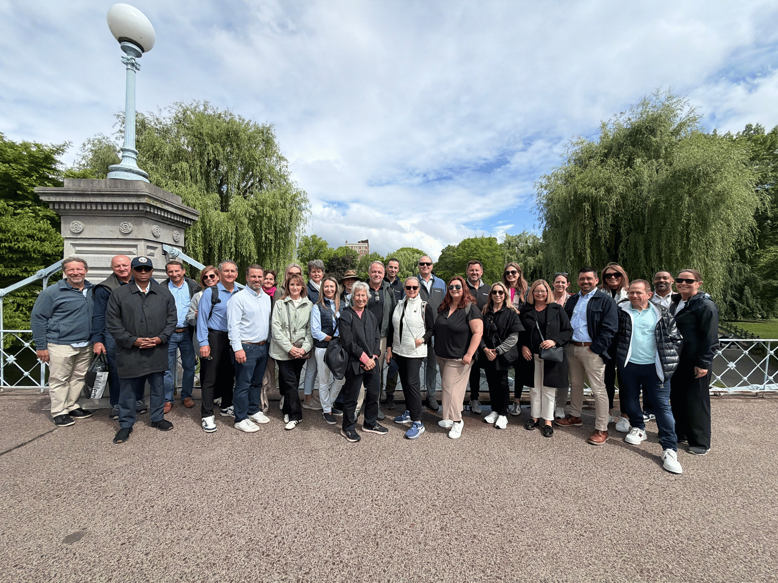
The Downtown Partnership takes invited members on an annual Urban Exploration Trip, highlighting projects in a particular city that demonstrate lessons learned that can be applied to active development projects in St. Pete. This year, we are going to Boston to see the Boston Public Gardens, Downtown Crossing, the Rose Kennedy Greenway, and Seaport. Please find more information about each project below.
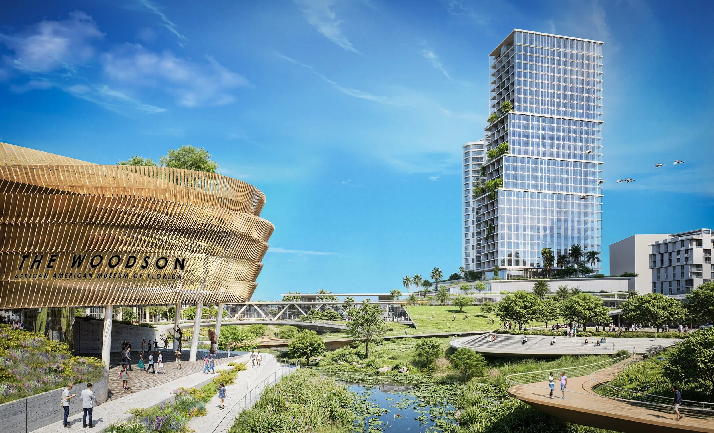
May Welch selects developer for Historic Gas Plant District
Mayor Ken Welch has named his picks for the long-awaited Historic Gas Plant redevelopment: Blake Investment Partners (The Burg Bid)
June 2026 Work Plan Update
Thanks to support from our members and board, we made progress on many of the priorities we identified in our 2026 Work Plan and kept momentum in our mission.
2026 Urban Exploration Trip to Boston: Key Takeaways
On June 1st, a group of our Sponsor and Supporter level members joined us in Boston for our annual Urban Exploration Trip.
Stay Up-to-Date
Join Our Newsletter!
Thank you! Your submission has been received!
Oops! Something went wrong while submitting the form.